
Getting to Mull
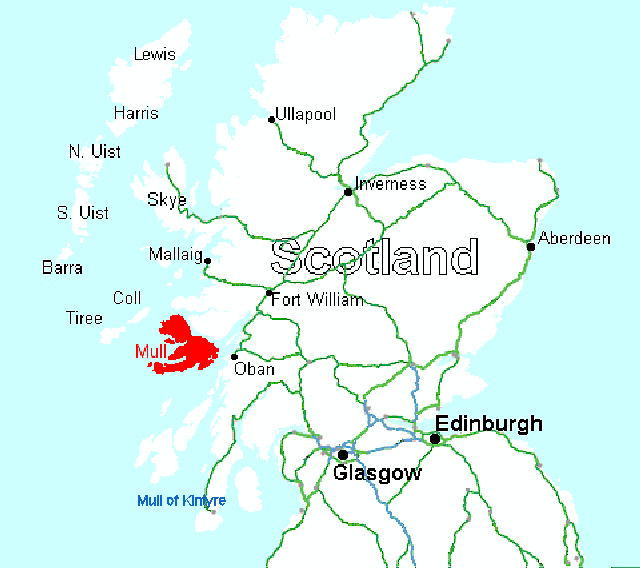
Where is the Isle of Mull ?
Mull is the second largest island of the Inner Hebrides, and lies off the west coast of Scotland about one hundred miles north-west of Glasgow by road. Area 338 square miles, population 2,700.
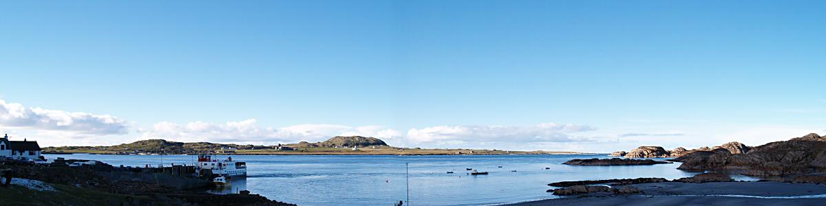
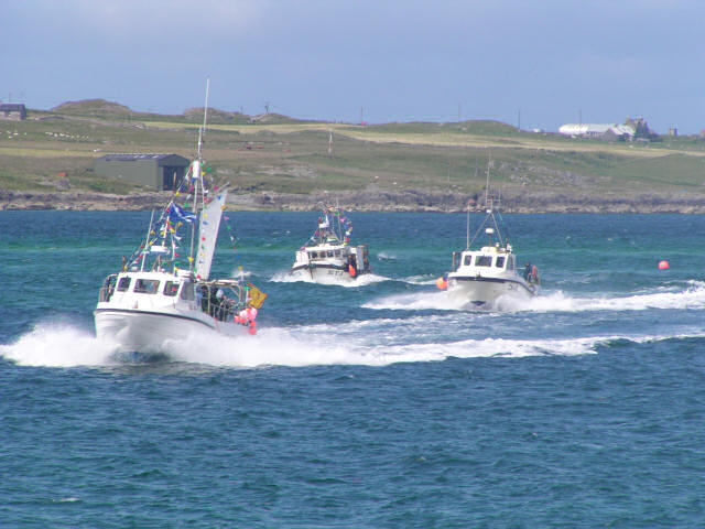
The principal ferry port for Mull is Oban; there are two other ferries which run from Lochaline (Morvern) and Kilchoan (Ardnamurchan).
How to get to Mull by road
The routes outlined below are the principal ways of getting to Mull, and they all end at one of the three ferries. There are, of course, alternative routes and variations on those below. Much depends on the time you have available. We recommend that you use these directions in conjunction with a map of at least sufficiently large scale to see the way-points mentioned.
From Southern Scotland and England
Go to Glasgow, then take the A82 north along loch Lomond to Crianlarich and Tyndrum. Just beyond Tyndrum fork left onto the A85 for Dalmally and Oban. In Oban take the ferry to Craignure (Mull).
As an alternative, half way up loch Lomond, at Tarbet, turn left for Arrochar, and continue via the 'Rest and Be Thankful' pass to Inverary where you turn right for Dalmally and Oban (rejoining the first route just west of Dalmally). The distance is much the same but it avoids the narrow and congested road at the upper end of loch Lomond.
From Edinburgh
Go to Stirling (M9), then at Jn 10 take the A84 to Lochearnhead, joining the A85 to Crianlarich and Tyndrum. Just beyond Tyndrum fork left onto the A85 for Dalmally and Oban.
From Perth, Dundee and Tayside
From Perth take the A85 west through Crieff to Lochearnhead. Then follow the Edinburgh directions above.
From further north on the A9 you can take the A827 through Aberfeldy and Killin to Crianlarich. Then follow the Edinburgh directions above.
From Northern Scotland
Go to Fort William, then take the A82 south to Corran Ferry and cross to Ardgour. Take the A861 towards Strontian, turning onto the A884 for Lochaline about a mile before Strontian. The A884 is a single track road. At Lochaline take the regular ferry to Fishnish (Mull). If you have time (and good weather), take the B8043 along the west side of Loch Linnhe (signed Kingairloch).
From Skye
You have two choices. You can leave Skye by the bridge, and go to Fort William, as above. Or you can go to Armadale (in Sleat, SW Skye) and take the ferry to Mallaig. From Mallaig take the A830 (Road to the Isles) to Lochailort, where you turn right onto the A861 and follow it to Strontian. A mile beyond turn right onto the A884 for Lochaline, where you take the regular ferry to Fishnish (Mull).
From Ardnamurchan
Head for Kilchoan in west Ardnamurchan, and take the ferry to Tobermory (Mull).
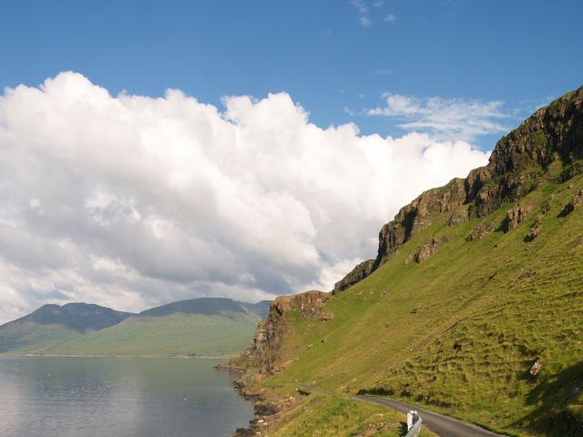
Motoring on Mull
Many of the roads on Mull are single track, so be prepared and keep to the code. Your average speeds will be lower, so allow plenty of time (about an hour from Craignure to Fionnphort, 37 miles) Distances on Mull
Petrol (gasoline) and diesel is more expensive than on the mainland, so fill your tank before the ferry. There's a 24-hour filling station at Dunbeg, between Connel and Oban. The Oban Tesco (supermarket) also has a filling station.
On Mull there are petrol stations at Craignure, Salen, Tobermory and between Bunessan and Fionnphort (2).
Mull by train
Trains run from Glasgow (Queen Street station) to Oban, where you can catch the ferry to Craignure (Mull). The train journey takes about three hours.
Map of UK
Zoom and pan the map to show further detail
